Sell Mineral Rights in Red Butte, WY
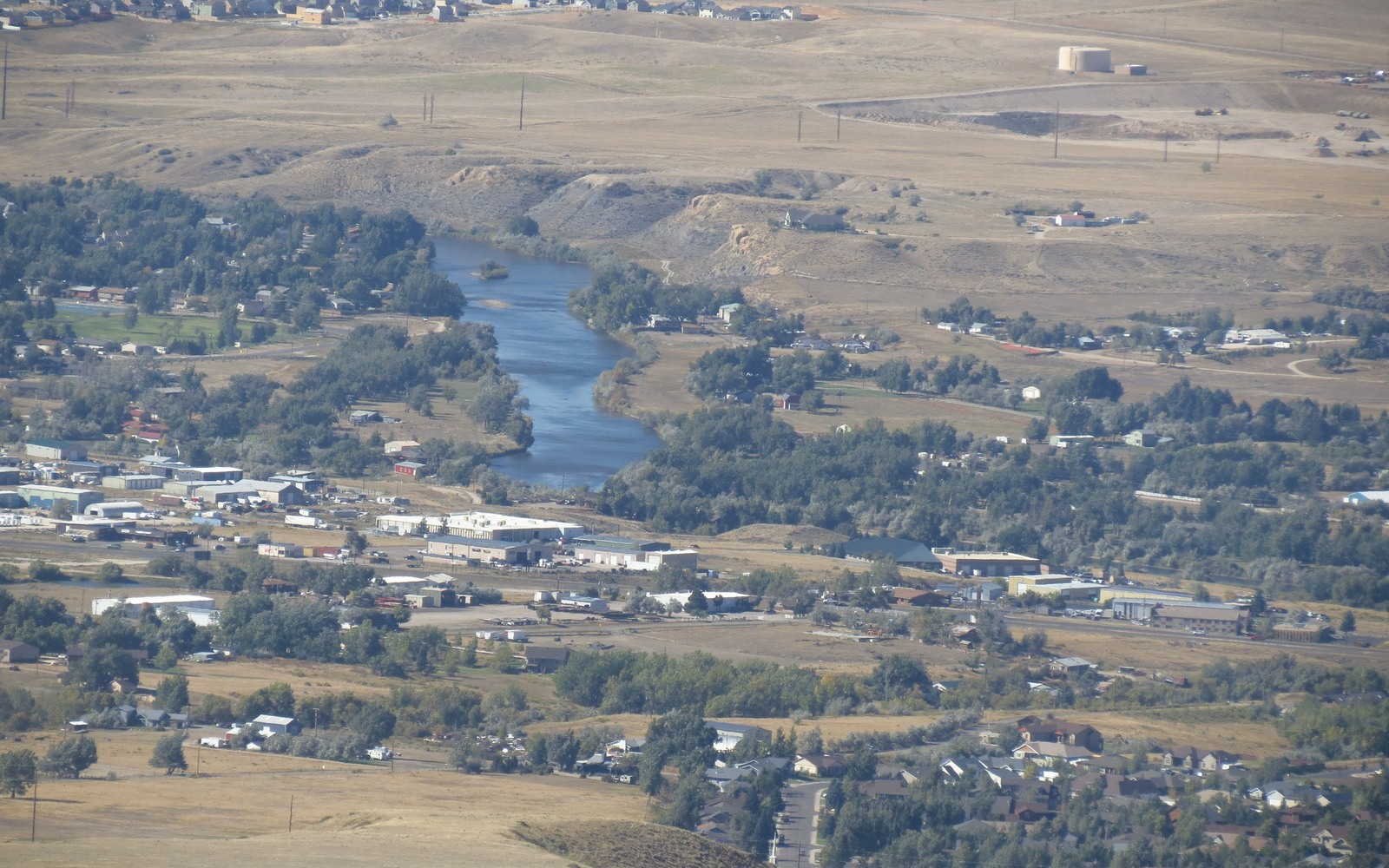
Red Butte is a small residential community on the outskirts of Casper, built on ground that was ranch land within living memory.
Casper's outward growth turned a lot of former ranch and grazing land into subdivisions like Red Butte, but the mineral rights under those lots frequently stayed with the family or company that owned the land before development. If you hold a mineral interest here, it is worth checking whether it is tied to a producing Natrona County unit or sits quiet, unleased, waiting on activity nearby.
The bluffs and buttes that give the neighborhood its name sit on the same geology that has produced oil for Natrona County for over a century, even though the surface here has long since gone residential.
Subdivided surface, undivided minerals
When ranch acreage around Casper gets platted into residential lots, the mineral estate is not always split up the same way as the surface. One family's original mineral interest can end up sitting under dozens of individual homes, with each homeowner owning nothing beneath their own lot. We confirm this through county deed records before assuming anything about your interest.
Proximity to Natrona County production
Red Butte sits close enough to the broader Casper-area field system that legacy interests here often tie back to established units rather than speculative acreage. That established history is usually a plus for pricing — it means less guesswork about future decline.
Next step
Send a division order, check stub, or the legal description from your deed, and we will confirm what unit your interest sits in and what it has been paying before we make an offer.
Build the County-Record Packet
A town name is only the first line of a Wyoming mineral file. The working packet should connect the tract to the county, legal description, section, township, range, owner name, vesting instrument, reservations, lease, division order, payor record, and any probate or trust document that changed the chain. Local field history belongs beside the recorded evidence, not in place of it. Where fee minerals meet federal or state ownership, the packet should also identify which tract, depth, or formation is actually private and conveyable before any acreage or paid decimal is carried into an offer.
Keep the Paid Interest and the Deed Scope Aligned
A royalty statement can show what is being paid on a tract, but the statement does not by itself prove the full mineral estate. The review should reconcile the paid decimal to the ownership fraction, lease royalty, unit allocation, well, product, production month, deductions, taxes, suspense, and any adjustment line. The proposed deed and written purchase scope should then repeat the verified owner, county, legal description, included depths or formations, effective date, conveyed fraction, retained interest, pre-closing proceeds, title conditions, and recording instructions. Any mismatch stays on the curative list until the supporting record resolves it.
WYOMING CURATIVE FILE
Resolve the Record Question Before It Reaches the Deed
Not necessarily. Subdivided land often has minerals reserved separately from the surface. We check the deed history to confirm.
We can evaluate non-producing acreage, weighted on proximity to active Natrona County units and any recent leasing activity nearby.
A division order or check stub is fastest. An old deed or lease with a legal description also works.
Not directly. Surface development doesn't change the underlying production or decline curve of the unit your minerals are tied to.
Once we confirm the deed history and the well or unit, a Red Butte file typically moves quickly since Natrona County records are well organized.
ADJOINING SECTION PLATS
Carry the Same Tract Into the Next Owner Memo