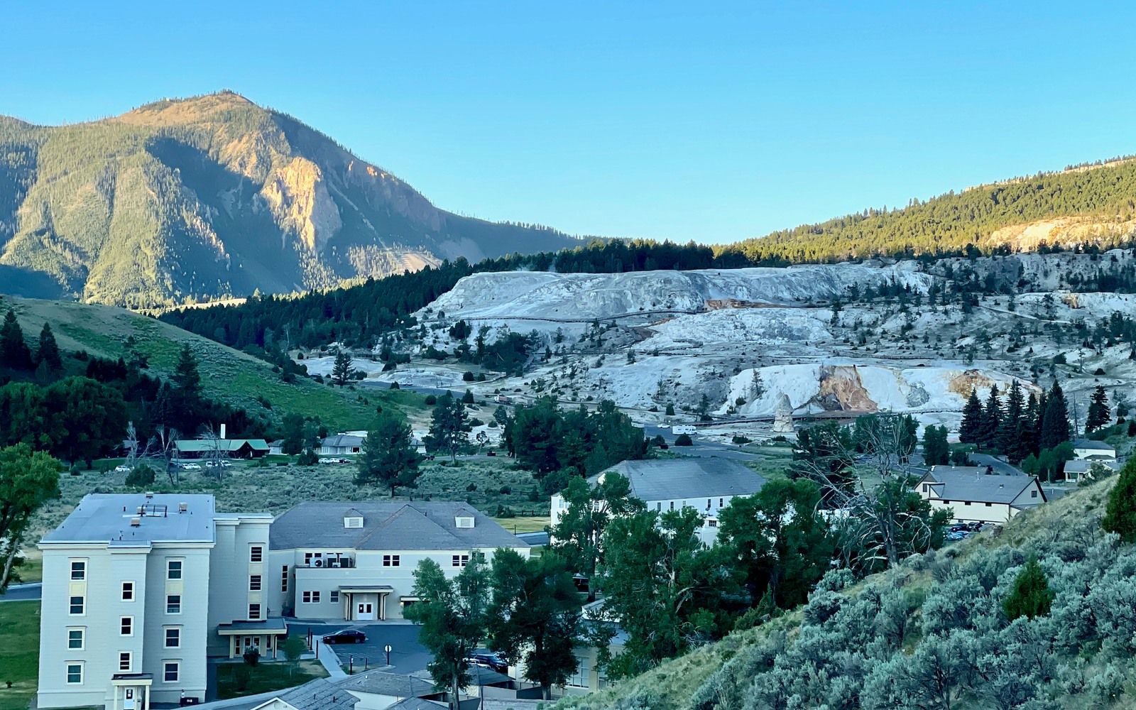
Sell Mineral Rights in Mammoth, WY
Mammoth sits inside Yellowstone National Park, which puts any mineral interest connected to this immediate area in a very different category than the rest of Park County.
Federal park land isn't open to oil and gas leasing or development, period. If your family's paperwork references land in or immediately around Mammoth Hot Springs, the first question isn't what the minerals are worth, it's whether your interest actually sits inside the park boundary or in the surrounding national forest and private ground outside it.
Park boundary versus surrounding land
Yellowstone National Park's boundary is precisely mapped, and land immediately outside it, in Park County proper, follows the same Bighorn Basin oil and gas rules as the rest of the county. If your legal description places your interest outside the park, standard Park County valuation applies. Inside the park, mineral development isn't happening under current federal law.
Why some families still hold old paperwork here
Mineral deeds and reservations from before the modern park boundary was firmly settled sometimes still show up in old family paperwork, remnants of ownership claims that predate strict federal management. Sorting out whether such a claim has any current legal standing requires careful title and boundary work, not assumption either way.
What to do first
Confirm your exact legal description against the park boundary using Park County Clerk records in Cody. If your acreage sits outside the park in normal Bighorn Basin country, it can be evaluated like any other Park County mineral interest.
If your paperwork is genuinely unclear
Some families hold mineral paperwork referencing land near Mammoth that predates precise modern surveying, making the exact boundary relative to the park unclear without professional help. In that situation, a title professional or surveyor familiar with Park County and National Park Service boundary records is worth the investment before assuming either outcome.
Build the County-Record Packet
A town name is only the first line of a Wyoming mineral file. The working packet should connect the tract to the county, legal description, section, township, range, owner name, vesting instrument, reservations, lease, division order, payor record, and any probate or trust document that changed the chain. Local field history belongs beside the recorded evidence, not in place of it. Where fee minerals meet federal or state ownership, the packet should also identify which tract, depth, or formation is actually private and conveyable before any acreage or paid decimal is carried into an offer.
Keep the Paid Interest and the Deed Scope Aligned
A royalty statement can show what is being paid on a tract, but the statement does not by itself prove the full mineral estate. The review should reconcile the paid decimal to the ownership fraction, lease royalty, unit allocation, well, product, production month, deductions, taxes, suspense, and any adjustment line. The proposed deed and written purchase scope should then repeat the verified owner, county, legal description, included depths or formations, effective date, conveyed fraction, retained interest, pre-closing proceeds, title conditions, and recording instructions. Any mismatch stays on the curative list until the supporting record resolves it.
WYOMING CURATIVE FILE
Resolve the Record Question Before It Reaches the Deed
No, federal law prohibits oil and gas leasing and development inside the park. Any interest confirmed to be inside the boundary has no development value under current law.
Check your legal description's section, township, and range against the official park boundary, available through Park County Clerk records in Cody or National Park Service boundary maps.
It's treated like any other Park County Bighorn Basin mineral interest, evaluated on proximity to fields like Elk Basin, Oregon Basin, or Garland and current production status.
A title professional experienced with Park County records, or the National Park Service's land boundary office, can help clarify exactly where an older legal description falls relative to the current park boundary.
ADJOINING SECTION PLATS
Carry the Same Tract Into the Next Owner Memo