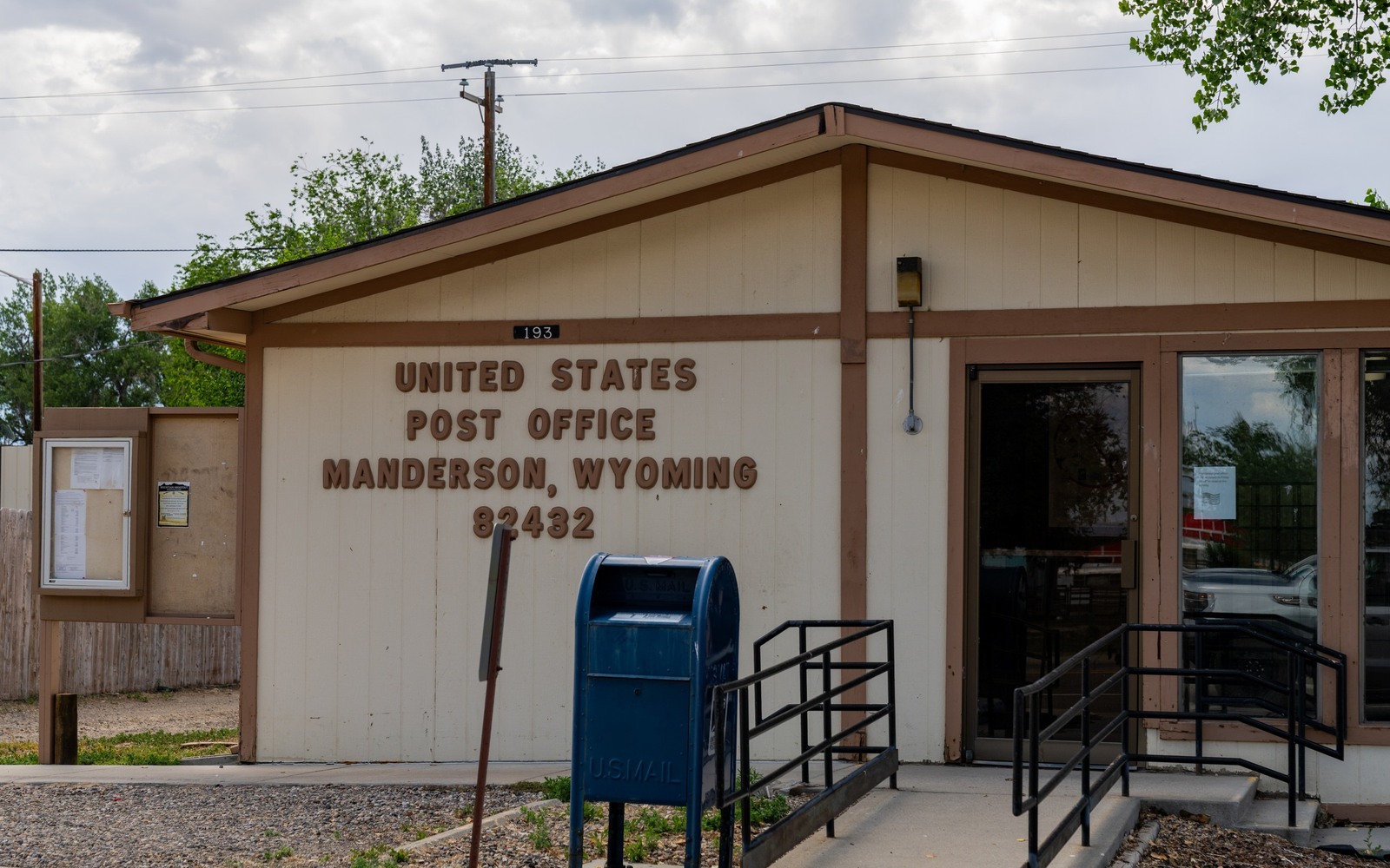
Sell Mineral Rights in Manderson, WY
Manderson is a small agricultural town along the Bighorn River, quieter on the drilling front than its Bighorn Basin neighbors but still sitting inside the same productive geologic province.
Families around Manderson have farmed the river bottom for generations, and mineral rights here often trace to the same homestead patents as the farmland itself, sometimes still attached, sometimes severed out along the way when land changed hands.
Manderson's place in the basin
The structural traps that made Garland, Greybull, and Elk Basin productive extend generally through this part of Big Horn County, though not every section has drawn drilling. Your specific tract's history depends on exact location relative to those established fields.
Farm-family mineral ownership
It's common here for the same family to have farmed the surface for three or four generations while the mineral rights, whether still attached or severed out at some point, followed a separate inheritance path. If you're an heir who doesn't farm the land but holds the minerals, that's a normal, common situation in this part of the county.
Getting a clear answer on your interest
Start with your deed and legal description. Big Horn County Clerk records in Basin can confirm whether your specific tract has any lease or production history, or whether it's sat undeveloped.
Multi-generation farm families and mineral memory
It's common for the current generation farming near Manderson to have only a vague sense of whether minerals were retained or sold off decades back, since that decision often predates anyone currently working the land. A deed pull settles the question definitively rather than relying on family memory that may have faded or shifted over the years.
Build the County-Record Packet
A town name is only the first line of a Wyoming mineral file. The working packet should connect the tract to the county, legal description, section, township, range, owner name, vesting instrument, reservations, lease, division order, payor record, and any probate or trust document that changed the chain. Local field history belongs beside the recorded evidence, not in place of it. Where fee minerals meet federal or state ownership, the packet should also identify which tract, depth, or formation is actually private and conveyable before any acreage or paid decimal is carried into an offer.
Keep the Paid Interest and the Deed Scope Aligned
A royalty statement can show what is being paid on a tract, but the statement does not by itself prove the full mineral estate. The review should reconcile the paid decimal to the ownership fraction, lease royalty, unit allocation, well, product, production month, deductions, taxes, suspense, and any adjustment line. The proposed deed and written purchase scope should then repeat the verified owner, county, legal description, included depths or formations, effective date, conveyed fraction, retained interest, pre-closing proceeds, title conditions, and recording instructions. Any mismatch stays on the curative list until the supporting record resolves it.
WYOMING CURATIVE FILE
Resolve the Record Question Before It Reaches the Deed
It depends on your exact section's proximity to established Bighorn Basin fields. Check Big Horn County Clerk or state oil and gas commission records to confirm.
Pull your recorded deed through the Big Horn County Clerk. Deed language will show whether minerals were retained with the surface or severed out at some point.
Yes, at a conservative, speculative price reflecting the lack of current production, still a legitimate transaction for owners looking to convert the asset to cash.
The recorded deed at the Big Horn County Clerk's office is the definitive answer, regardless of what different relatives recall. Start there to settle any disagreement.
ADJOINING SECTION PLATS
Carry the Same Tract Into the Next Owner Memo