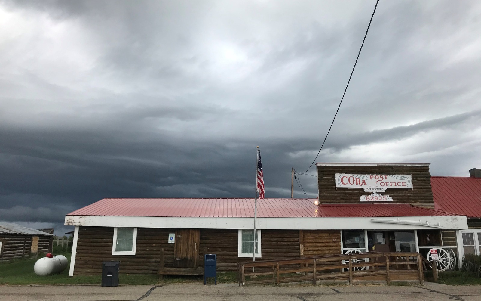
Sell Mineral Rights in Cora, WY
Cora sits up near the headwaters of the Green River, north of the dense Jonah and Pinedale development, in ranch country that's stayed mostly untouched by the drilling that transformed the county further south.
Sublette County's tight-gas boom concentrated around Pinedale and Big Piney, and drilling density drops off sharply as you move north toward Cora and the mountains beyond. Most of what's recorded up here is old ranch-family mineral acreage, undeveloped, with occasional historical lease filings from exploration pushes decades back.
We check your specific legal description against the actual productive field boundaries before saying anything about your interest, since even ground fairly close to Pinedale can sit well outside the unit lines that matter.
North of the boom
The Lance and Mesaverde formations that made Jonah and Pinedale Anticline productive don't necessarily carry the same characteristics this far north, and in practice, operator interest has stayed concentrated closer to the established field boundaries. Cora-area minerals typically price as speculative, undeveloped acreage rather than anything with production history.
That's not unusual for the northern part of the county, and we will be direct with you about which category your interest falls into.
Old ranch ownership
A lot of Cora-area minerals trace back to homestead ranches along the upper Green River, split among heirs over the decades. We work from whatever documentation you have, even partial, to trace your ownership through the Sublette County recorder before discussing value.
This stretch of the valley has stayed remarkably rural, and the same families have often held both surface and severed mineral interests for a century or more. That kind of long, uninterrupted ownership actually makes title work easier than in areas where land has changed hands repeatedly.
Build the County-Record Packet
A town name is only the first line of a Wyoming mineral file. The working packet should connect the tract to the county, legal description, section, township, range, owner name, vesting instrument, reservations, lease, division order, payor record, and any probate or trust document that changed the chain. Local field history belongs beside the recorded evidence, not in place of it. Where fee minerals meet federal or state ownership, the packet should also identify which tract, depth, or formation is actually private and conveyable before any acreage or paid decimal is carried into an offer.
Keep the Paid Interest and the Deed Scope Aligned
A royalty statement can show what is being paid on a tract, but the statement does not by itself prove the full mineral estate. The review should reconcile the paid decimal to the ownership fraction, lease royalty, unit allocation, well, product, production month, deductions, taxes, suspense, and any adjustment line. The proposed deed and written purchase scope should then repeat the verified owner, county, legal description, included depths or formations, effective date, conveyed fraction, retained interest, pre-closing proceeds, title conditions, and recording instructions. Any mismatch stays on the curative list until the supporting record resolves it.
WYOMING CURATIVE FILE
Resolve the Record Question Before It Reaches the Deed
Very limited. The county's active development has stayed concentrated further south near Pinedale and Big Piney.
It's still a real, sellable asset, priced as undeveloped acreage rather than producing minerals.
Send us whatever paperwork exists, and we will trace it through Sublette County records ourselves.
Possibly, if the broader Green River Basin trend expands, but we price your interest on today's actual facts, not future speculation.
Usually within a few days of receiving your deed or family documentation.
ADJOINING SECTION PLATS
Carry the Same Tract Into the Next Owner Memo