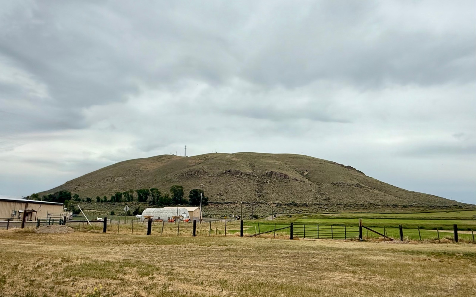
Sell Mineral Rights in Cokeville, WY
Cokeville sits near the Idaho line at the top of Lincoln County, close enough to the northern edge of the Overthrust Belt that old leasing swept through here even though the producing fields sit well to the south.
Ranching built this stretch of the county, and the homestead patents behind most Cokeville-area properties came with full mineral rights attached from the start. Exploration companies leased broadly across Lincoln County during the thrust-belt boom years of the 1970s and 80s, including up here, and a lot of those leases simply expired without a well ever getting drilled.
What's left in a lot of family files is a severed mineral interest that's been sitting quiet for decades. It's still a real, recorded asset, and we will check exactly what your family holds before saying what it's worth.
Northern edge of the thrust belt
Producing Overthrust fields like Fontenelle and Whitney Canyon sit well south of Cokeville, so most mineral interests up here have lease history without production history. That distinction matters: we price this kind of interest as undeveloped, speculative acreage, not as a royalty-bearing asset.
Even without current drilling, the geology that makes the belt interesting doesn't stop at an arbitrary line, so speculative interest in this ground has continued periodically over the decades.
Ranch-family ownership patterns
It's common up here for a mineral interest to trace back to a single original homestead, split among heirs generation after generation. We work from whatever documentation exists, even a partial deed or a family name, to trace your specific share through the Lincoln County recorder's records.
The Idaho border adds one more wrinkle worth checking: a handful of old ranch descriptions in this corner of the county reference boundary surveys that predate modern GPS-based platting, so we confirm your legal description sits cleanly on the Wyoming side before doing anything else.
Build the County-Record Packet
A town name is only the first line of a Wyoming mineral file. The working packet should connect the tract to the county, legal description, section, township, range, owner name, vesting instrument, reservations, lease, division order, payor record, and any probate or trust document that changed the chain. Local field history belongs beside the recorded evidence, not in place of it. Where fee minerals meet federal or state ownership, the packet should also identify which tract, depth, or formation is actually private and conveyable before any acreage or paid decimal is carried into an offer.
Keep the Paid Interest and the Deed Scope Aligned
A royalty statement can show what is being paid on a tract, but the statement does not by itself prove the full mineral estate. The review should reconcile the paid decimal to the ownership fraction, lease royalty, unit allocation, well, product, production month, deductions, taxes, suspense, and any adjustment line. The proposed deed and written purchase scope should then repeat the verified owner, county, legal description, included depths or formations, effective date, conveyed fraction, retained interest, pre-closing proceeds, title conditions, and recording instructions. Any mismatch stays on the curative list until the supporting record resolves it.
WYOMING CURATIVE FILE
Resolve the Record Question Before It Reaches the Deed
Very limited, if any, directly in this area. Activity has concentrated further south in the belt's core producing fields.
Most old leases up here have lapsed without a well being drilled. We will check the current status of your specific tract.
No, they're separate estates. Selling minerals doesn't touch your grazing, water, or surface use.
Yes, it carries speculative value tied to the broader Overthrust Belt trend, priced honestly lower than a producing interest.
ADJOINING SECTION PLATS
Carry the Same Tract Into the Next Owner Memo