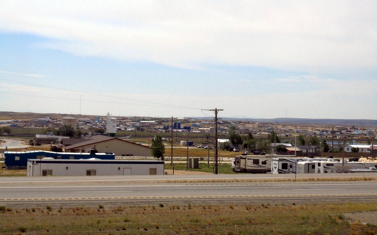
Sell Mineral Rights in Wamsutter, WY
Wamsutter sits at the eastern edge of Sweetwater County, in ground that has been developed harder and denser for tight gas than almost anywhere else in the Green River Basin.
The Almond and Lewis formations underlying Wamsutter have been drilled on close spacing for decades, and infill drilling has continued to add wells to units that were already developed years earlier. That density is the defining feature of a Wamsutter mineral interest — your tract may sit inside a unit with far more wellbores than a typical Wyoming spacing unit, and the royalty history reflects a lot of individual well declines layered on top of each other.
Heavy infill development
Because operators have continued adding wells to established Wamsutter units over the years, your royalty check may reflect production from wells drilled at very different times, some old and declining, some newer. We pull the current division order to see the actual well count and mix before pricing.
Gas price sensitivity
Almost all of the production here is natural gas, so your check size moves with gas prices more directly than it would in an oil county. We look at a longer run of your payment history to smooth out any single volatile month before making an offer.
Checkerboard title nearby
Parts of the ground around Wamsutter still carry the historic railroad checkerboard pattern. We confirm whether your legal description sits in a private or federal section as part of our review.
What we need
A division order or recent check stub is the fastest route to an offer. If your interest is unleased or non-producing, send the legal description and we will check nearby activity.
Build the County-Record Packet
A town name is only the first line of a Wyoming mineral file. The working packet should connect the tract to the county, legal description, section, township, range, owner name, vesting instrument, reservations, lease, division order, payor record, and any probate or trust document that changed the chain. Local field history belongs beside the recorded evidence, not in place of it. Where fee minerals meet federal or state ownership, the packet should also identify which tract, depth, or formation is actually private and conveyable before any acreage or paid decimal is carried into an offer.
Keep the Paid Interest and the Deed Scope Aligned
A royalty statement can show what is being paid on a tract, but the statement does not by itself prove the full mineral estate. The review should reconcile the paid decimal to the ownership fraction, lease royalty, unit allocation, well, product, production month, deductions, taxes, suspense, and any adjustment line. The proposed deed and written purchase scope should then repeat the verified owner, county, legal description, included depths or formations, effective date, conveyed fraction, retained interest, pre-closing proceeds, title conditions, and recording instructions. Any mismatch stays on the curative list until the supporting record resolves it.
WYOMING CURATIVE FILE
Resolve the Record Question Before It Reaches the Deed
It depends on the mix of well ages and their individual declines. A unit with recent infill wells generally has more current production behind it than one with only older wells.
We look at a run of recent history rather than one check, which reduces the impact of any single month's price swing.
We check your legal description against the checkerboard pattern and BLM records to confirm.
No. Pricing is driven by the unit's well count, decline stage, and recent royalty history, not by the size of the nearest town.
ADJOINING SECTION PLATS
Carry the Same Tract Into the Next Owner Memo