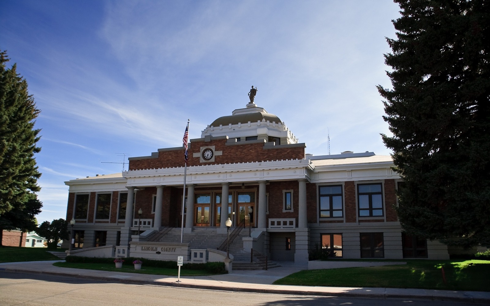
Sell Mineral Rights in Lincoln County, WY
Lincoln County covers two very different worlds, the Overthrust Belt and Moxa Arch gas country around Kemmerer and LaBarge, and the quiet farming valleys of Star Valley to the west, and what your mineral interest is worth depends heavily on which one you're standing in.
We have worked title on both ends of this county, and the difference is stark. East of the Star Valley divide, deep thrust-faulted structures have produced major gas discoveries for over a century. West of it, in Star Valley proper, mineral rights have mostly sat unleased and undeveloped through the same stretch of time.
Knowing which side of that line your acreage falls on is the single most useful thing you can figure out before pricing your interest.
The Overthrust Belt and Moxa Arch, Lincoln County's productive core
The thrust faulting that stacked up gas-bearing reservoirs across eastern Lincoln County created some of Wyoming's most significant deep gas discoveries when explored through the 1970s and 1980s. The Moxa Arch trend, running through the eastern part of the county toward Sweetwater County, has produced steadily from tight Frontier and Dakota sands for decades.
The LaBarge platform, near the town of La Barge, adds another layer, a deep, high-CO2 gas structure with major processing infrastructure that's kept it commercially active since the 1960s. Mineral owners in this eastern band of the county are far more likely to hold producing, leased interests than owners further west.
Kemmerer's coal alongside the gas
Kemmerer, the county seat, has been a coal town since the 1890s, and some Lincoln County mineral deeds cover coal rights alongside or instead of oil and gas. If your deed uses broad 'all minerals' language, it may include coal even if you've only ever thought of your interest as an oil and gas asset, worth confirming before you assume what you're selling.
Star Valley, where the minerals have mostly stayed quiet
West of the Salt River Range, Star Valley's farming and ranching communities, Etna, Fairview, Freedom, Grover, Thayne, and others, sit outside the geology that's made eastern Lincoln County productive. Mineral rights here trace mostly to old homestead and farm-sale severances, held by families who've never seen a lease, let alone a royalty check.
That's not a defect in the asset. It just means valuation on Star Valley acreage runs speculative, priced on the small chance of future interest rather than existing production, and offers should be understood in that light from the start.
Getting an accurate number, either side of the county
For eastern Lincoln County interests tied to Moxa Arch or LaBarge platform production, bring your division order and recent check stubs; established, well-documented units make for fast, confident offers. For Star Valley acreage, bring your deed and legal description and expect a more conservative number reflecting undeveloped ground.
The Lincoln County Clerk's office in Kemmerer holds recorded deeds and lease history for the entire county, both sides of the divide, and is the fastest way to confirm exactly what you own before any sale conversation goes further.
Fossil Butte and federally managed ground
Fossil Butte National Monument sits near Kemmerer, federal land removed from oil and gas development entirely, a reminder that even in the county's productive eastern half, not every acre is open to leasing. Surrounding BLM-administered land, common throughout eastern Lincoln County, remains open to federal mineral leasing, but that leasing runs through the Bureau of Land Management rather than a private landowner, and produces no benefit to a nearby private mineral owner unless their own tract is directly involved.
Between the monument, BLM ground, and privately held minerals scattered across both the productive east and the quiet Star Valley west, Lincoln County's mineral map is genuinely more layered than most Wyoming counties. Confirming exactly which category your family's specific tract falls into, private and producing, private and undeveloped, or federally managed, is worth doing before you form any expectations about value.
WYOMING CURATIVE FILE
Resolve the Record Question Before It Reaches the Deed
Check your legal description's section, township, and range against a county plat map, or ask the Lincoln County Clerk in Kemmerer to help place your tract relative to the Moxa Arch and Overthrust Belt trend.
Depends on the deed language. Some Lincoln County deeds specify oil and gas only, others use broader 'all minerals' wording covering coal as well.
Yes, though it's priced conservatively as speculative rather than producing acreage. Some owners still choose to sell to consolidate an inherited interest into cash.
It's a major deep gas field near La Barge with high CO2 content and significant processing infrastructure, active since the 1960s. If your interest ties to that unit, it likely has a well-documented production history.
A substantial share, particularly in the eastern part of the county and around Fossil Butte National Monument, is federally managed BLM or National Park Service land. Confirm your specific tract's status through the Lincoln County Clerk before assuming either way.
ADJOINING SECTION PLATS
Carry the Same Tract Into the Next Owner Memo