Sell Mineral Rights in Eden, WY
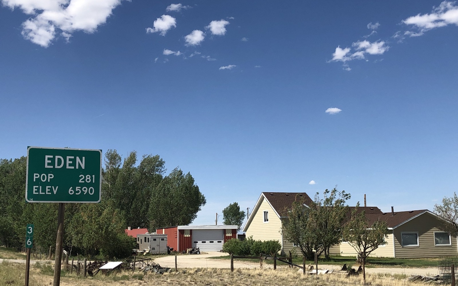
Eden sits in an irrigated farming valley that got its name from the reclamation project that turned this stretch of high desert green, and it also sits close enough to the checkerboard and the Continental Divide gas trend that we check both before saying anything about a mineral interest here.
The Eden Valley Irrigation Project brought farming to this part of Sweetwater County in the early twentieth century, and the original patents came with mineral rights attached, some later severed off through leasing during oil and gas exploration pushes. Separately, this whole corridor along the old Union Pacific right-of-way carries the checkerboard pattern of alternating private and federal sections.
Between farm-family mineral history and the checkerboard's private-versus-federal question, there are two things we need to sort out before quoting you anything, and we will walk through both.
Irrigated farmland with severed minerals
A lot of Eden-area mineral interests trace to the original reclamation-era homestead patents, split off from the farm surface through decades of leasing and inheritance. That mineral estate is entirely separate from irrigation water rights or the farming operation itself, whether or not the family still works the land.
Checkerboard ownership nearby
Depending on your exact section, your family's interest may trace to a private Union Pacific land grant patent, sellable outright, or to federally retained ground where any minerals are BLM-administered rather than privately held. We check each tract section by section rather than assuming based on the area generally.
Nearby gas development
The Continental Divide-Creston gas trend runs through parts of Sweetwater County south and east of Eden, and some tracts in this broader area do carry production history. We check your specific legal description against current unit boundaries before saying whether that applies to you.
Between the irrigation history, the checkerboard, and the nearby gas trend, Eden-area ownership questions take a bit more digging than a simpler tract elsewhere in the state. We would rather take that extra time upfront than give you a number that doesn't hold up once someone looks closer.
Build the County-Record Packet
A town name is only the first line of a Wyoming mineral file. The working packet should connect the tract to the county, legal description, section, township, range, owner name, vesting instrument, reservations, lease, division order, payor record, and any probate or trust document that changed the chain. Local field history belongs beside the recorded evidence, not in place of it. Where fee minerals meet federal or state ownership, the packet should also identify which tract, depth, or formation is actually private and conveyable before any acreage or paid decimal is carried into an offer.
Keep the Paid Interest and the Deed Scope Aligned
A royalty statement can show what is being paid on a tract, but the statement does not by itself prove the full mineral estate. The review should reconcile the paid decimal to the ownership fraction, lease royalty, unit allocation, well, product, production month, deductions, taxes, suspense, and any adjustment line. The proposed deed and written purchase scope should then repeat the verified owner, county, legal description, included depths or formations, effective date, conveyed fraction, retained interest, pre-closing proceeds, title conditions, and recording instructions. Any mismatch stays on the curative list until the supporting record resolves it.
WYOMING CURATIVE FILE
Resolve the Record Question Before It Reaches the Deed
No, they're separate legal interests entirely. Selling minerals has no bearing on water rights or farm operations.
Send us your legal description and we will check it against the original land grant records and county plat.
Some nearby sections carry production history tied to regional gas trends. We will check your specific tract before answering definitively.
That's often enough to start with. We can cross-reference district records against the Sweetwater County plat to find your exact section.
ADJOINING SECTION PLATS
Carry the Same Tract Into the Next Owner Memo