Sell Mineral Rights in Casper Mountain, WY
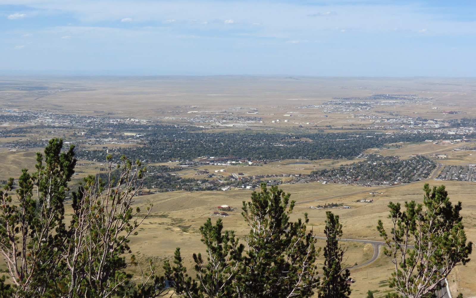
Casper Mountain rises above the city and the Salt Creek trend below it, and the mineral interests tied to this recreational area are almost always separate from anything currently producing.
This is cabin and forest-service country, elevated well above the oil field that made Casper famous, and the geology up here doesn't match the productive Tensleep and Second Wall Creek zones that drive Salt Creek's long production history. Mineral interests tied to Casper Mountain addresses are typically undeveloped, small fractional pieces from old homestead or ranch land at the mountain's base.
We check every specific tract before assuming anything, since a legal description that says Casper Mountain can sometimes extend down toward flatter ground with a different story.
Why elevation matters here
Salt Creek's producing formations sit at depth beneath the basin floor north of Casper, not under the mountain itself. That geologic separation means most Casper Mountain mineral interests have no lease or production history to speak of, which puts them in the undeveloped, speculative pricing category rather than anything tied to current royalty income.
Confirming your legal description
We pull your exact section, township, and range from the Natrona County recorder and compare it against known field boundaries. That's the only reliable way to know whether your interest has ever seen lease interest, rather than assuming based on the neighborhood name alone.
Because the mountain's lower slopes eventually give way to flatter basin ground, we have occasionally found a legal description that technically sits closer to producing territory than the Casper Mountain name would suggest. That's exactly why we check the actual section numbers rather than going by the local name.
Build the County-Record Packet
A town name is only the first line of a Wyoming mineral file. The working packet should connect the tract to the county, legal description, section, township, range, owner name, vesting instrument, reservations, lease, division order, payor record, and any probate or trust document that changed the chain. Local field history belongs beside the recorded evidence, not in place of it. Where fee minerals meet federal or state ownership, the packet should also identify which tract, depth, or formation is actually private and conveyable before any acreage or paid decimal is carried into an offer.
Keep the Paid Interest and the Deed Scope Aligned
A royalty statement can show what is being paid on a tract, but the statement does not by itself prove the full mineral estate. The review should reconcile the paid decimal to the ownership fraction, lease royalty, unit allocation, well, product, production month, deductions, taxes, suspense, and any adjustment line. The proposed deed and written purchase scope should then repeat the verified owner, county, legal description, included depths or formations, effective date, conveyed fraction, retained interest, pre-closing proceeds, title conditions, and recording instructions. Any mismatch stays on the curative list until the supporting record resolves it.
WYOMING CURATIVE FILE
Resolve the Record Question Before It Reaches the Deed
Not to our knowledge in any meaningful sense. The productive geology sits in the basin below, not under the mountain.
Yes, as undeveloped acreage, priced lower than a producing interest but still a real, sellable asset.
Send us any paperwork you have and we will match it to the Natrona County plat ourselves.
Not your private mineral interest directly, though it can limit surrounding development potential in practice.
Send us any deed, tax document, or probate paperwork you have, and we will match it against county records within a few days.
ADJOINING SECTION PLATS
Carry the Same Tract Into the Next Owner Memo