Sell Mineral Rights in Basin, WY
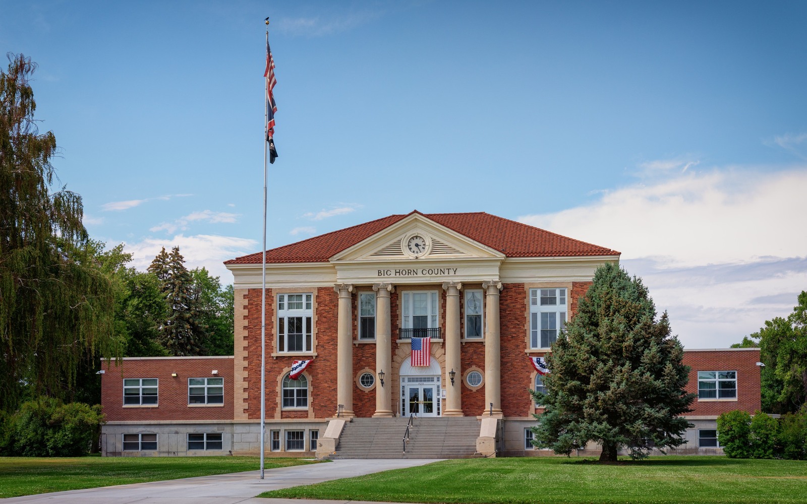
Basin is the Big Horn County seat, which means the courthouse here holds the actual paper trail for every mineral interest we work with in this county, going back to the earliest oil leases in the basin.
The Bighorn Basin's oil fields, Elk Basin, Byron, Grass Creek, Oregon Basin, are some of the oldest producing ground in Wyoming, with leasing and drilling records stretching back to the 1910s and 20s. Because Basin sits at the county's administrative center, every deed, lease, and probate order tied to those fields eventually runs through the Big Horn County recorder's office right here in town.
If you inherited a mineral interest anywhere in this county, there's a good chance the paperwork that proves your ownership was filed within a few blocks of where we would be pulling it.
Legacy fields, legacy paperwork
A hundred years of ownership changes means the chain of title on a lot of Big Horn County minerals runs through multiple probate proceedings, name changes, and old-style legal descriptions that don't always match how land gets described today. Untangling that chain is most of the work before we can quote anything honestly.
The upside of a county this well-documented is that once title is confirmed, it tends to hold up cleanly, because so many transactions have already run through the same recorder's office.
What determines value countywide
Most of Big Horn County's production today comes from mature, secondary-recovery fields with gentler decline curves than newer shale plays, but also less upside. We price a Basin-area interest against actual royalty statements when there's a production history, or against comparable undeveloped-acreage trades when there isn't.
Being the courthouse town itself doesn't change the geology under Basin specifically, but it does mean we can often confirm a chain of title faster here than in counties where records are scattered across multiple offices or have been transferred between jurisdictions over the years.
Build the County-Record Packet
A town name is only the first line of a Wyoming mineral file. The working packet should connect the tract to the county, legal description, section, township, range, owner name, vesting instrument, reservations, lease, division order, payor record, and any probate or trust document that changed the chain. Local field history belongs beside the recorded evidence, not in place of it. Where fee minerals meet federal or state ownership, the packet should also identify which tract, depth, or formation is actually private and conveyable before any acreage or paid decimal is carried into an offer.
Keep the Paid Interest and the Deed Scope Aligned
A royalty statement can show what is being paid on a tract, but the statement does not by itself prove the full mineral estate. The review should reconcile the paid decimal to the ownership fraction, lease royalty, unit allocation, well, product, production month, deductions, taxes, suspense, and any adjustment line. The proposed deed and written purchase scope should then repeat the verified owner, county, legal description, included depths or formations, effective date, conveyed fraction, retained interest, pre-closing proceeds, title conditions, and recording instructions. Any mismatch stays on the curative list until the supporting record resolves it.
WYOMING CURATIVE FILE
Resolve the Record Question Before It Reaches the Deed
Basin is the county seat, so the Big Horn County recorder's office here holds the official records for the whole county, regardless of which town your specific tract sits near.
Not usually. We can match older section-based descriptions to current plats without much trouble.
Several are, under secondary and enhanced recovery. We will check your specific tract's current status.
Usually just a few days, since the records are centralized here in Basin and generally well organized.
ADJOINING SECTION PLATS
Carry the Same Tract Into the Next Owner Memo